

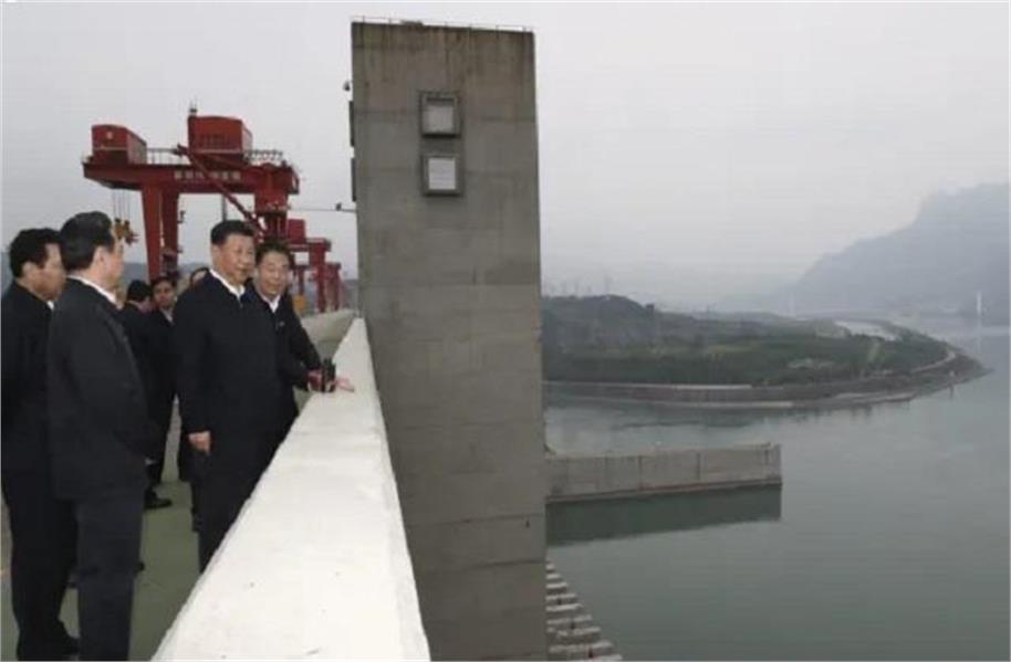
Beijing: China’s ambitious plan to build one of the world’s largest hydroelectric projects on the Brahmaputra in Tibet is facing growing scrutiny over seismic and geological risks, with concerns that a major earthquake could have serious consequences for downstream areas in India and Bangladesh.
The colossal project is being constructed near India’s border on the upper reaches of the river, known in Tibet as the Yarlung Tsangpo. Its proposed capacity is expected to surpass that of China’s giant Three Gorges Dam, making it one of the most formidable hydropower projects ever undertaken.
But alongside its enormous power-generation potential, the project has triggered questions over whether the fragile Himalayan terrain can safely withstand such a massive dam and reservoir.
Chinese Research Raises Geological Red Flags
The concerns are not coming solely from India or other countries. A recent study published in a Chinese-language scientific journal has highlighted geological vulnerabilities in the project area.
Researchers reportedly found that parts of the construction zone have relatively loose geological structures and weak connections between rock formations. They warned that a major earthquake or movement along a geological fault could potentially trigger significant ground instability.
The researchers have recommended measures including reinforcing reservoir slopes, installing retaining structures and modifying the design of certain critical sections of the project.
The location itself adds to the concern. The dam is being built in the Himalayan seismic belt, where the Indian and Eurasian tectonic plates continue to collide. The region is consequently among the most earthquake-prone parts of the world.
That raises a fundamental question: can a project of such enormous scale withstand the seismic forces of the Himalayas?
Could the Giant Reservoir Itself Add to the Risk?
The concern goes beyond whether an earthquake could damage the dam. Scientists have also examined whether the immense weight of water stored behind large dams can alter stresses within surrounding geological formations.
This phenomenon is known as Reservoir-Triggered Seismicity (RTS). Scientists have studied possible links between large reservoirs and earthquakes in several parts of the world.
China’s devastating 2008 Sichuan earthquake remains an important case in this debate. Nearly 90,000 people were killed. Some scientific studies suggested that the enormous volume of water stored behind the Zipingpu Dam may have increased stress on a nearby fault and potentially influenced the timing of the earthquake.
However, the relationship remains scientifically contested and has not been conclusively established as the cause of that earthquake.
For the Brahmaputra project, therefore, the issue is not proof that the reservoir will trigger an earthquake, but whether the possibility warrants the highest level of geological and structural scrutiny.
Why India and Bangladesh Are Watching Closely
The Brahmaputra is far more than a river. For north-eastern India, it is a vital source of water and supports agriculture, fisheries, wetlands and the livelihoods of millions of people.
After flowing through India, the river enters Bangladesh, where it is equally important for agriculture, water resources and millions of livelihoods.
As a result, China’s control over a major section of the river’s upper reaches has implications extending well beyond electricity generation. Changes in water flows, sediment movement, flooding patterns and river ecosystems could potentially affect downstream communities.
The sheer scale of the Chinese project has therefore intensified concerns in the two downstream countries.
A Disaster Scenario That Cannot Be Ignored
Perhaps the most serious concern is the potential consequence of a major structural failure following an earthquake or landslide.
If an extreme seismic event or geological instability were ever to cause severe damage to the dam, the sudden release of a huge volume of water could potentially create a dangerous downstream surge.
That does not mean a dam failure is inevitable, nor does it establish that an earthquake would necessarily produce such a catastrophe. But given the scale of the project, the seismic character of the Himalayas and the international nature of the Brahmaputra basin, even a low-probability failure scenario warrants rigorous assessment.
The central concern is simple: a disaster originating in one country could have consequences far beyond its borders.
Himalayas Offer No Respect for Political Boundaries
Earthquakes and other geological hazards do not recognise national borders. The 2025 Myanmar earthquake demonstrated how seismic events can affect areas hundreds of kilometres away, with tremors reaching Bangkok, where a high-rise building collapsed.
The Himalayan region is similarly interconnected by complex geological structures and river systems.
That makes the geological safety of China’s mega dam on the upper Brahmaputra a matter of regional importance. For India and Bangladesh, the issue is not merely how much electricity China will generate, but how the project could affect the security of water resources, downstream ecosystems and millions of people living along the river.
As construction progresses, the biggest question surrounding China’s Himalayan mega-project may ultimately be whether its extraordinary engineering ambitions can keep pace with the extraordinary geological risks of the terrain.